

Malaysia is rapidly advancing in its use of digital solutions to improve city planning. With Malaysia Digital Urban Planning Tools gaining traction, the country is on track to lead smart urban development in Southeast Asia. Let’s take a closer look!
A Booming Market for Urban Tech
Malaysia’s urban planning software market is growing fast. In 2024, it was valued at USD 2.1 billion. By 2033, it is expected to more than double to USD 4.5 billion. This growth reflects the increasing demand for tools that support smarter, faster, and more efficient urban development.
Malaysia Digital Urban Planning Tools: Smart City Investments Lead the Way
Government projects like the transformation of Cyberjaya into a digital hub show Malaysia’s strong push toward smart cities. These efforts rely heavily on technologies like GIS (Geographic Information Systems), AI, and cloud-based platforms to support planning, execution, and real-time monitoring.
Read Also: Big Moves in Malaysia Real Estate Investment Trends
Public-Private Partnerships Accelerate Adoption
Malaysia’s digital urban planning transformation is being supercharged by collaborations between government agencies and tech firms. Sime Darby Property, for instance, has partnered with Esri Malaysia to integrate AI-powered GIS analytics into its township developments, optimizing traffic flow and green space allocation. Meanwhile, Prasarana Malaysia (the national transit operator) uses BIM-GIS integration to simulate passenger flows for upcoming MRT stations, reducing planning errors by 30%.
Broadband Powers Nationwide Access
As of early 2025, 99% of mobile connections in Malaysia are broadband-enabled through 3G, 4G, or 5G networks. This connectivity allows both large and small municipalities to use mobile and web-based urban planning tools effectively, reducing the digital divide.
Data-Driven Planning with MUO
In December 2024, Malaysia launched the Malaysia Urban Observatory (MUO). This platform brings together data from more than 34 government and private agencies. It supports real-time decision-making using big data and GIS. Planners can now act on accurate, up-to-date insights rather than outdated paper records.
GIS & BIM Transform Malaysia Digital Urban Planning Tools
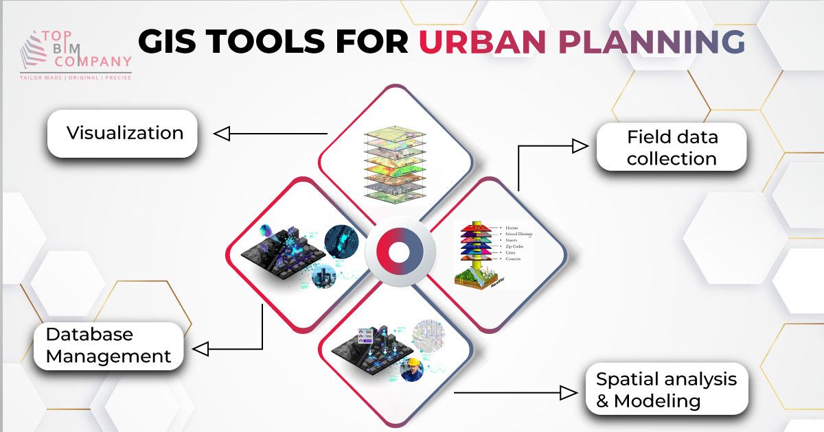
Local authorities have adopted GIS for key projects like AGISwlk in the Klang Valley and GIS9 in Negeri Sembilan. These systems provide complete spatial databases that help monitor and manage urban growth.
A standout example is the 3D GIS model of Ampang Jaya, which makes complex data easy to understand. It improves transparency and public engagement while helping local councils make informed choices.
Building Information Modeling (BIM) is also playing a bigger role. When combined with GIS, BIM allows simulations of future urban growth and better project coordination. This integration is essential for smart infrastructure planning and sustainable city development.
Toward Greener, Smarter Cities
Malaysia is also using AI and data analytics to design more sustainable and inclusive cities. These technologies help forecast needs, optimize resources, and reduce carbon emissions, turning digital planning into climate action.
Read Also: Malaysia Energy-Efficient Buildings & the Smart Designs for Growth
Open data efforts are another key part of the transformation. Public agencies are now sharing real-time data, making it easier to coordinate across departments and improve urban mobility.
Malaysia Digital Urban Planning Tools and a Digital Leap Toward the Future
With strong digital infrastructure, bold government initiatives, and real-world applications like 3D GIS and integrated BIM, Malaysia Digital Urban Planning Tools are reshaping how cities are built and managed. The country is no longer just planning cities, but it’s planning for a smarter future.